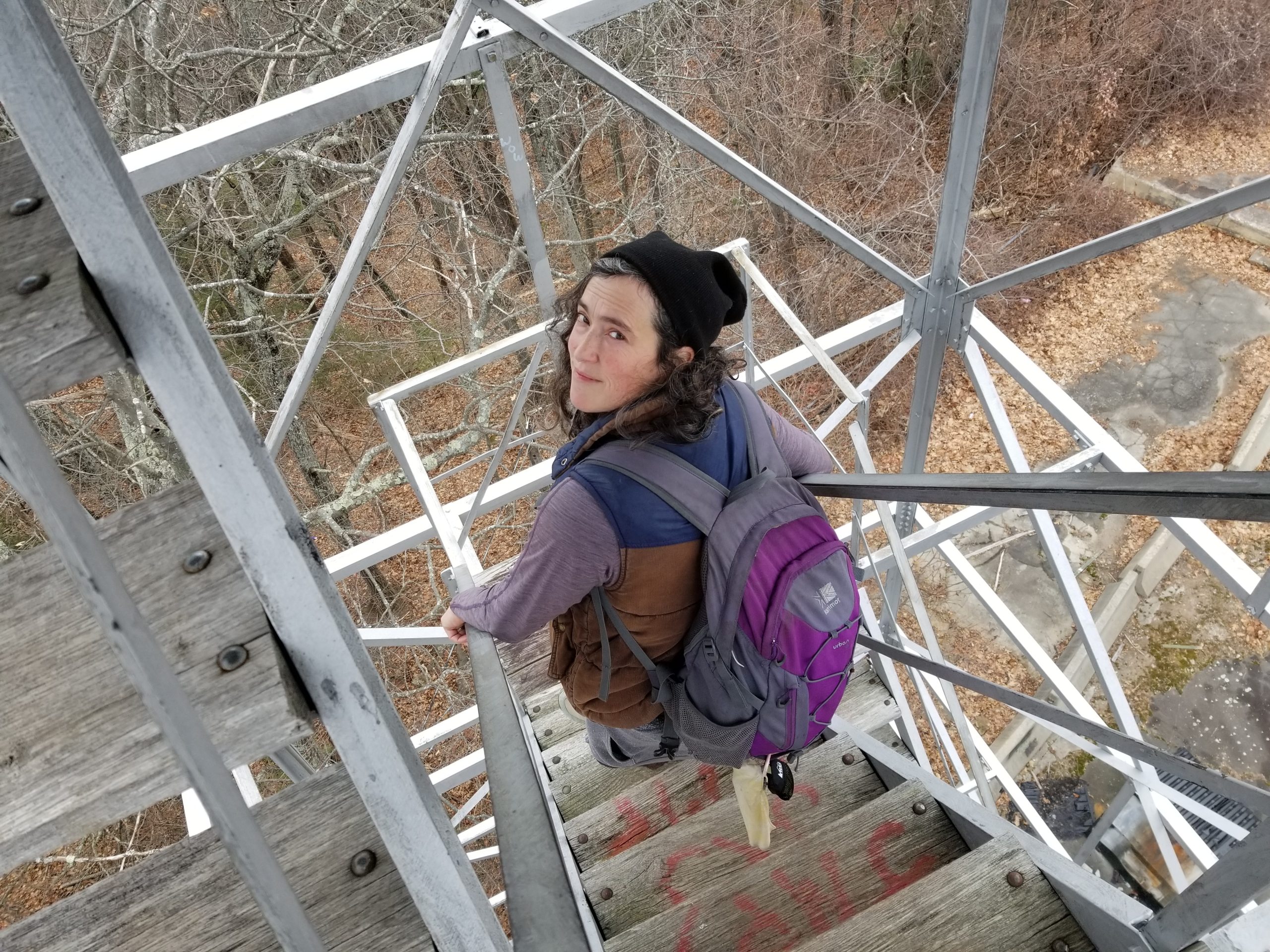
My spouse Sara and I are section hiking the New England Trail using public transit. There are some areas that require overnights due to the distance between public transit stops, but most can be done as day hikes.
Here are the sections I’ve gotten to with information about public transit options. Click the “Full post” links for a detailed description with photos.
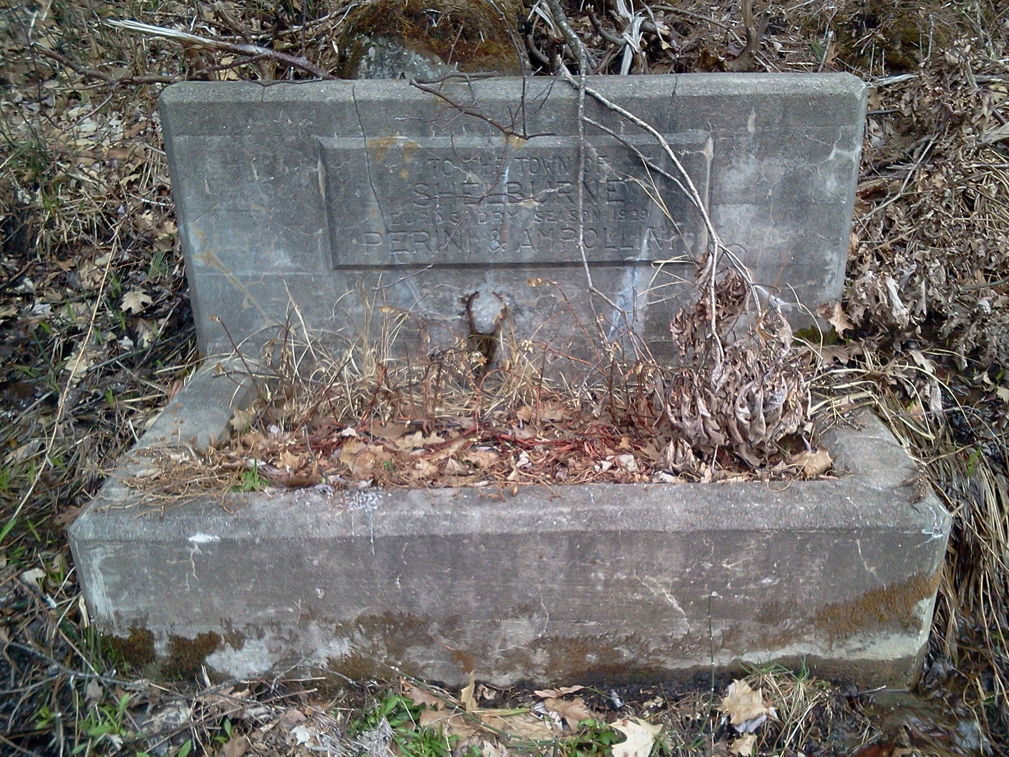
Massachusetts
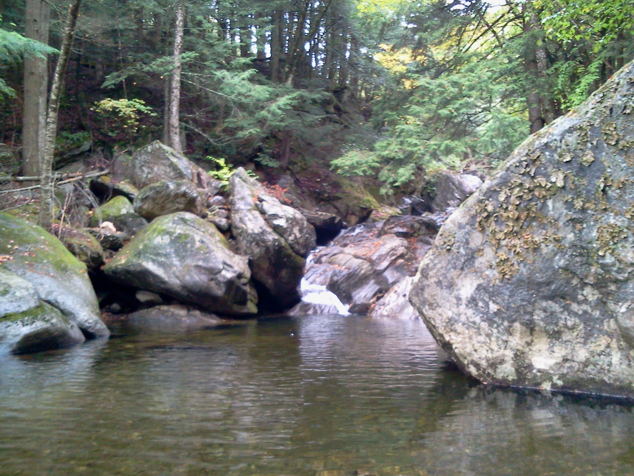
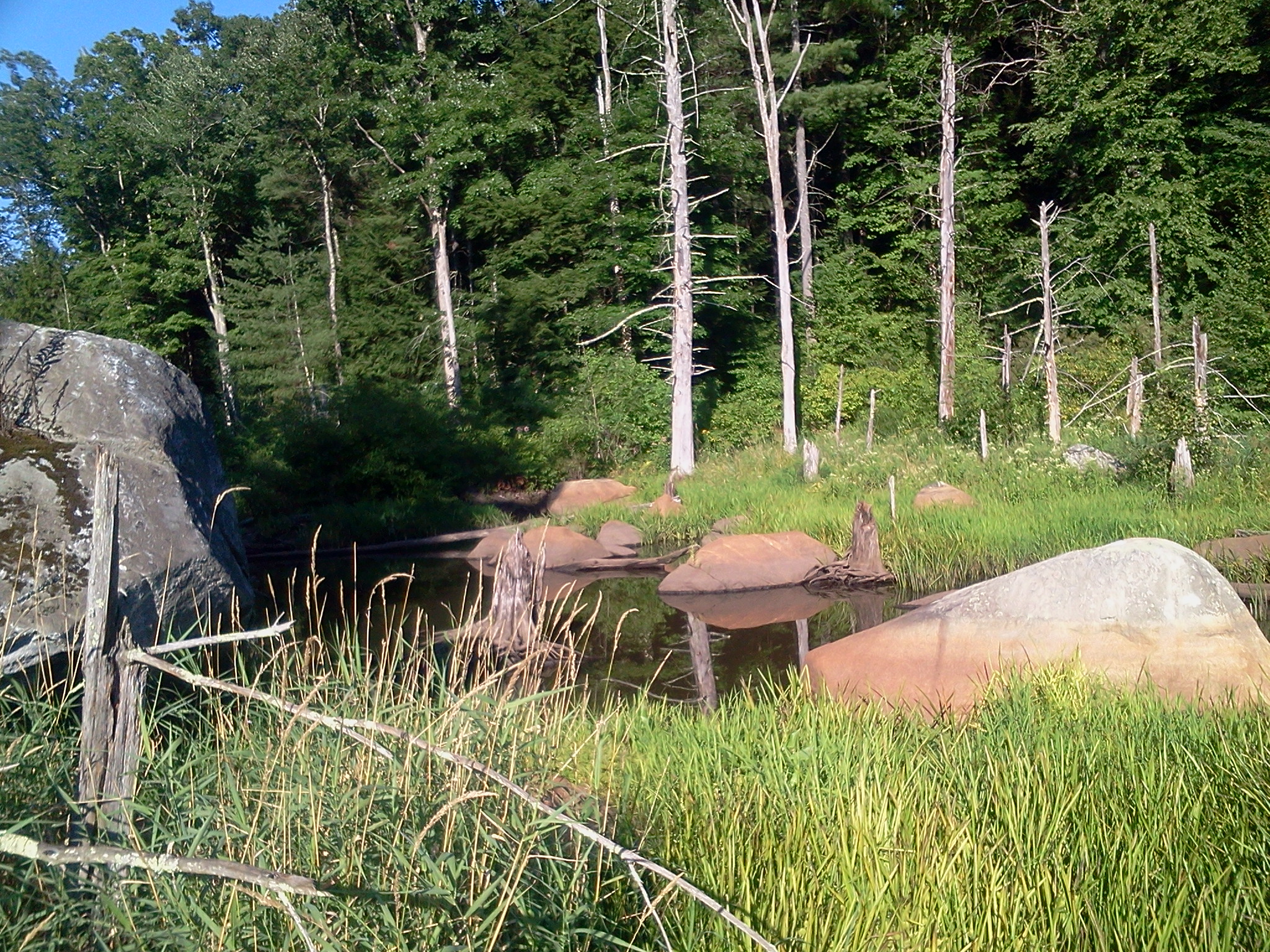
- MA Sections 17 to 19 have no close public transit access.
- MA Sections 15 & 16: FRTA 32 (2.4 mile walk from Erving Center)
- MA Sections 11 to 14 have no close public transit access.
- MA Sections 8, 9 and 10: PVTA 38 and R29 at western end, 45 at the eastern/northern.
- MA Section 7: PVTA 39E at western end, 38 and R29 at eastern.
- MA Section 6: PVTA R41 at southern end, B48 at northern.
- MA Section 5: PVTA B23 at southern end, R41 at northern.
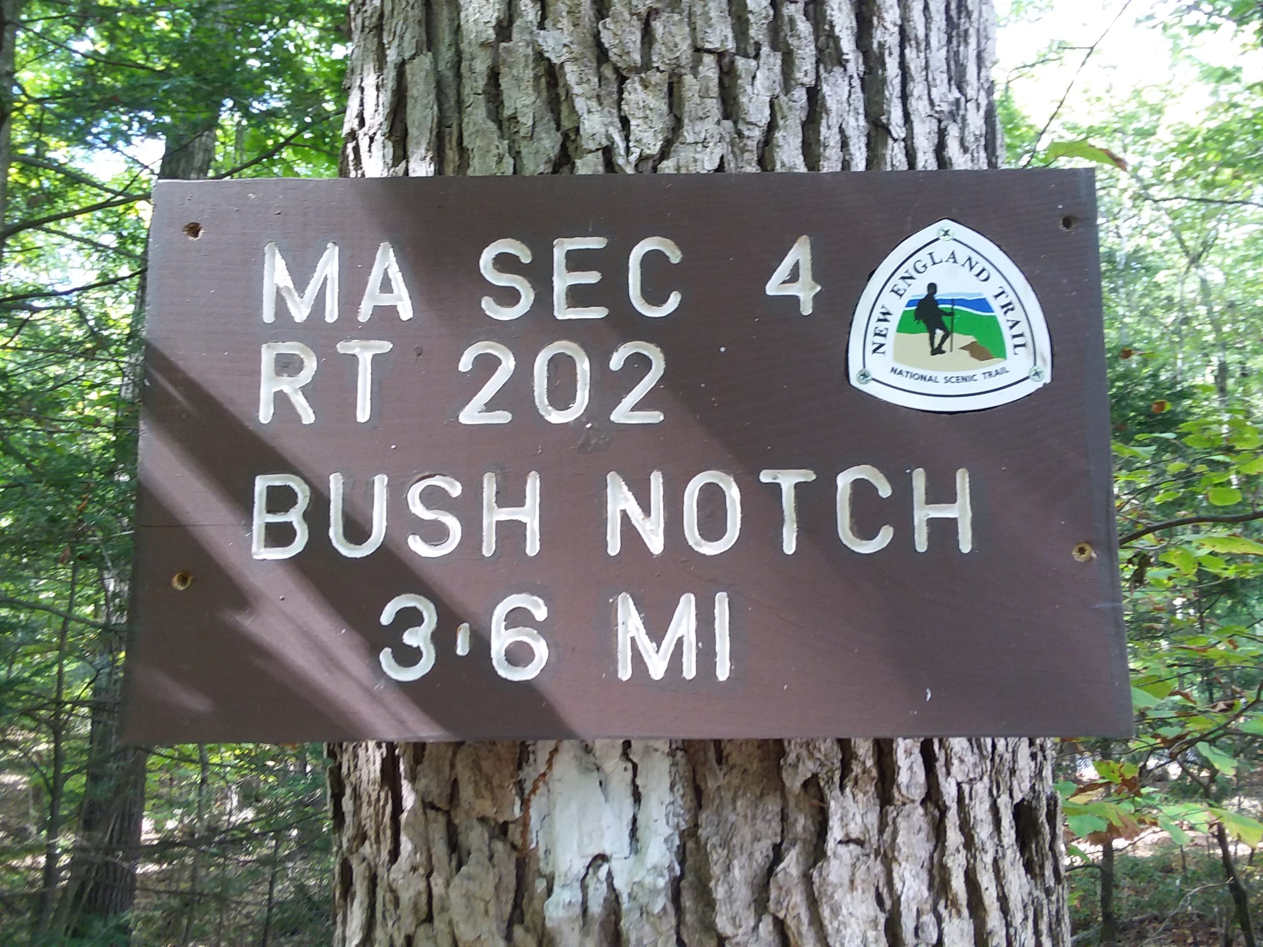
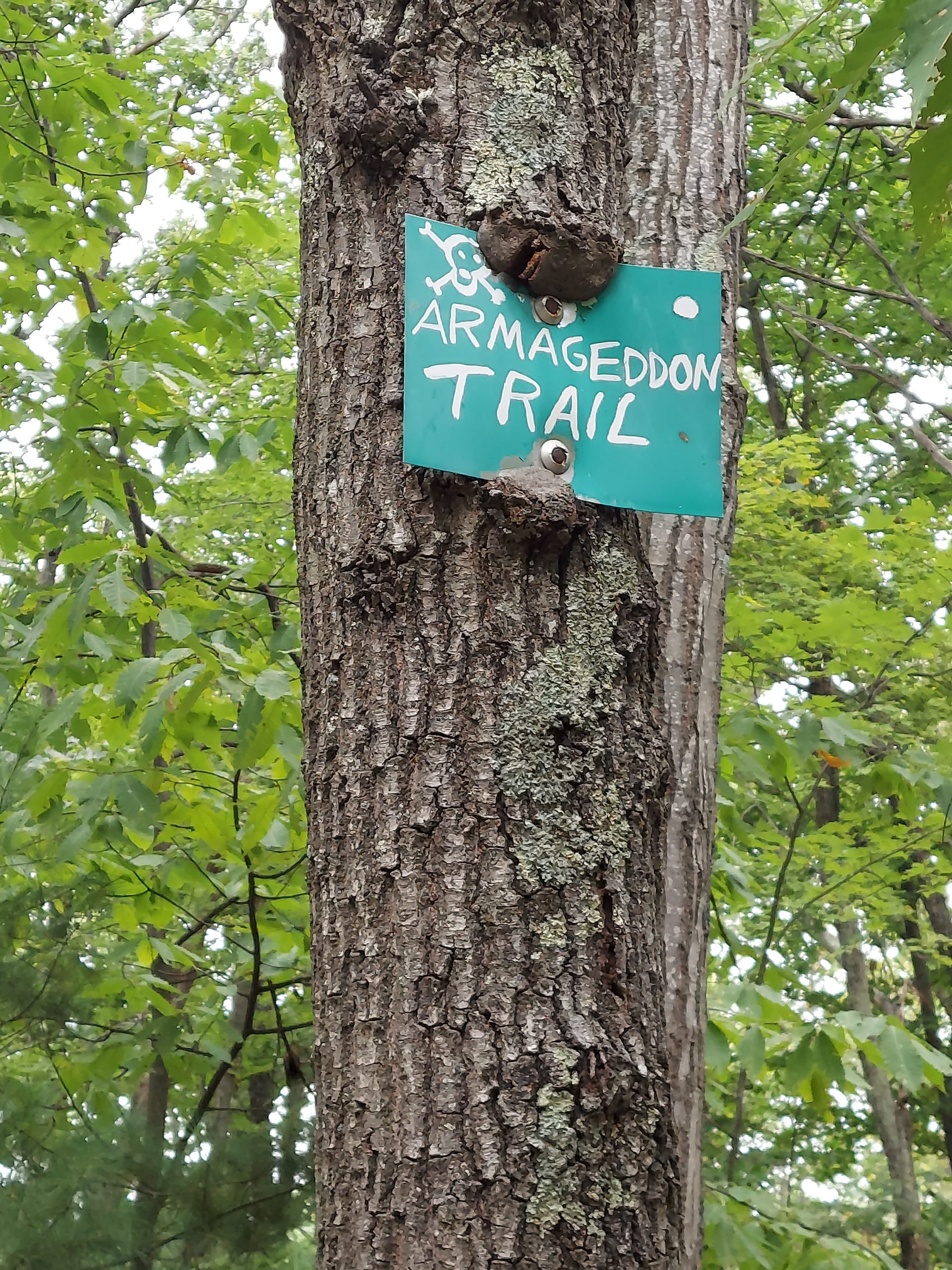
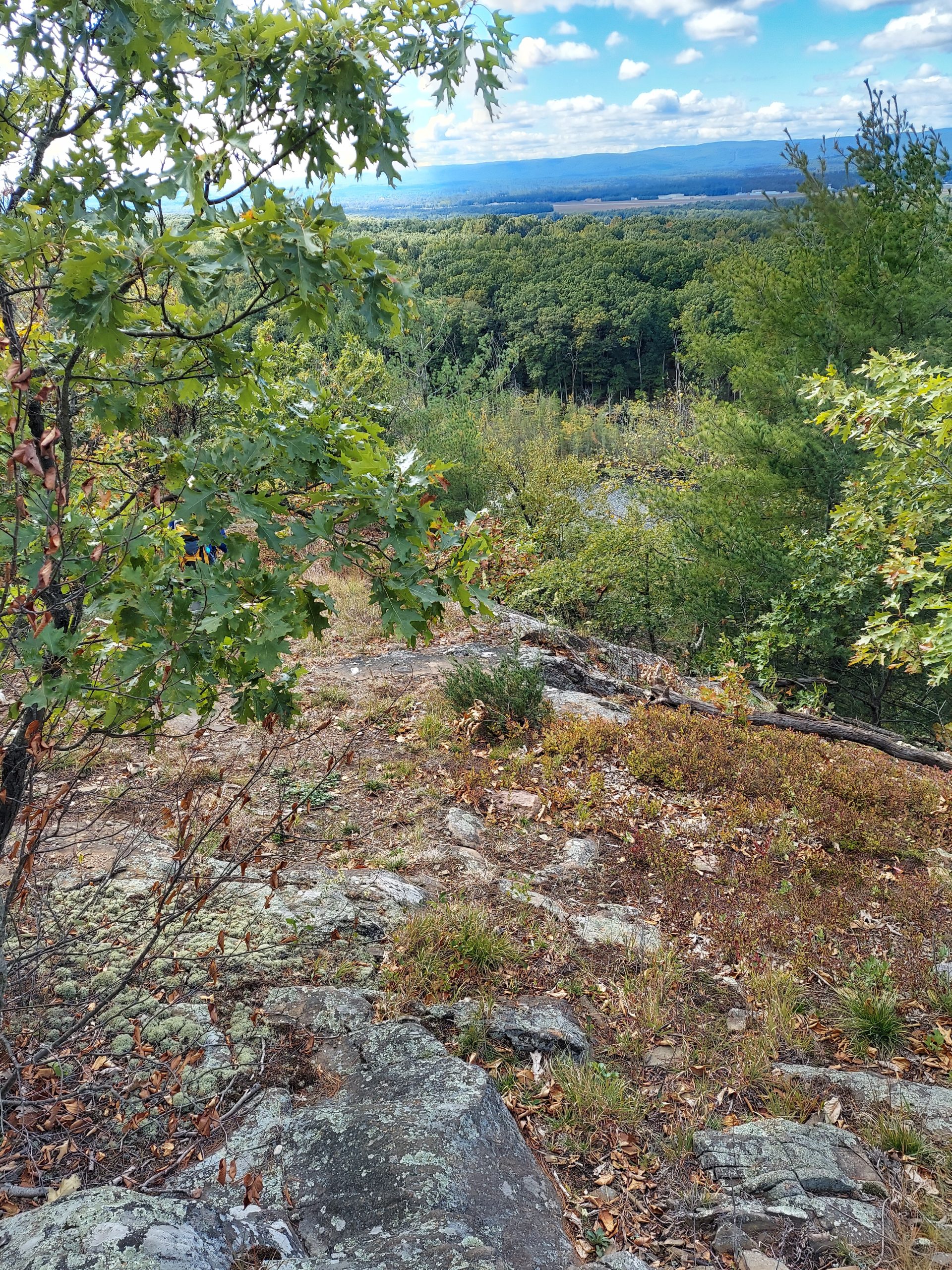
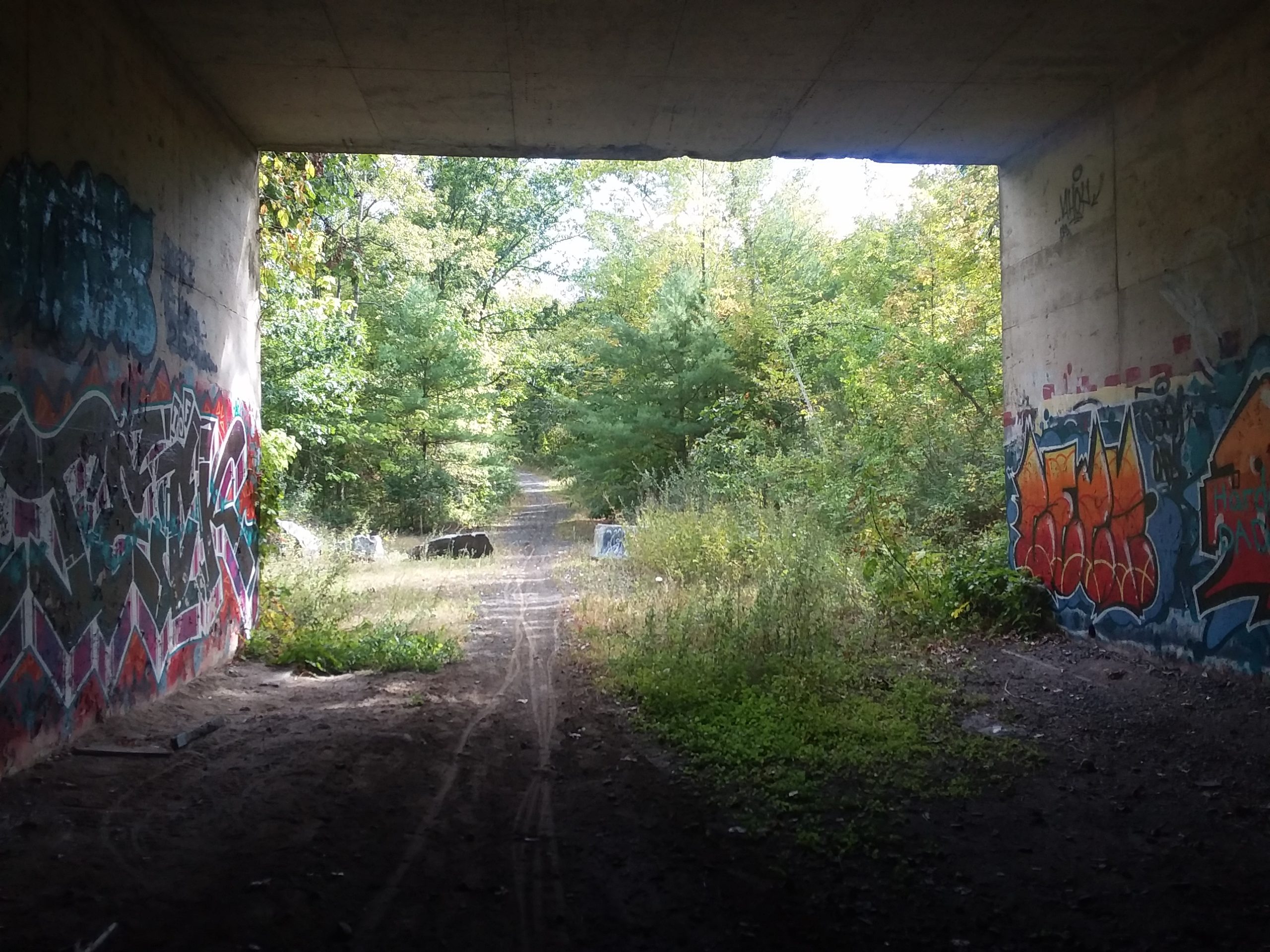
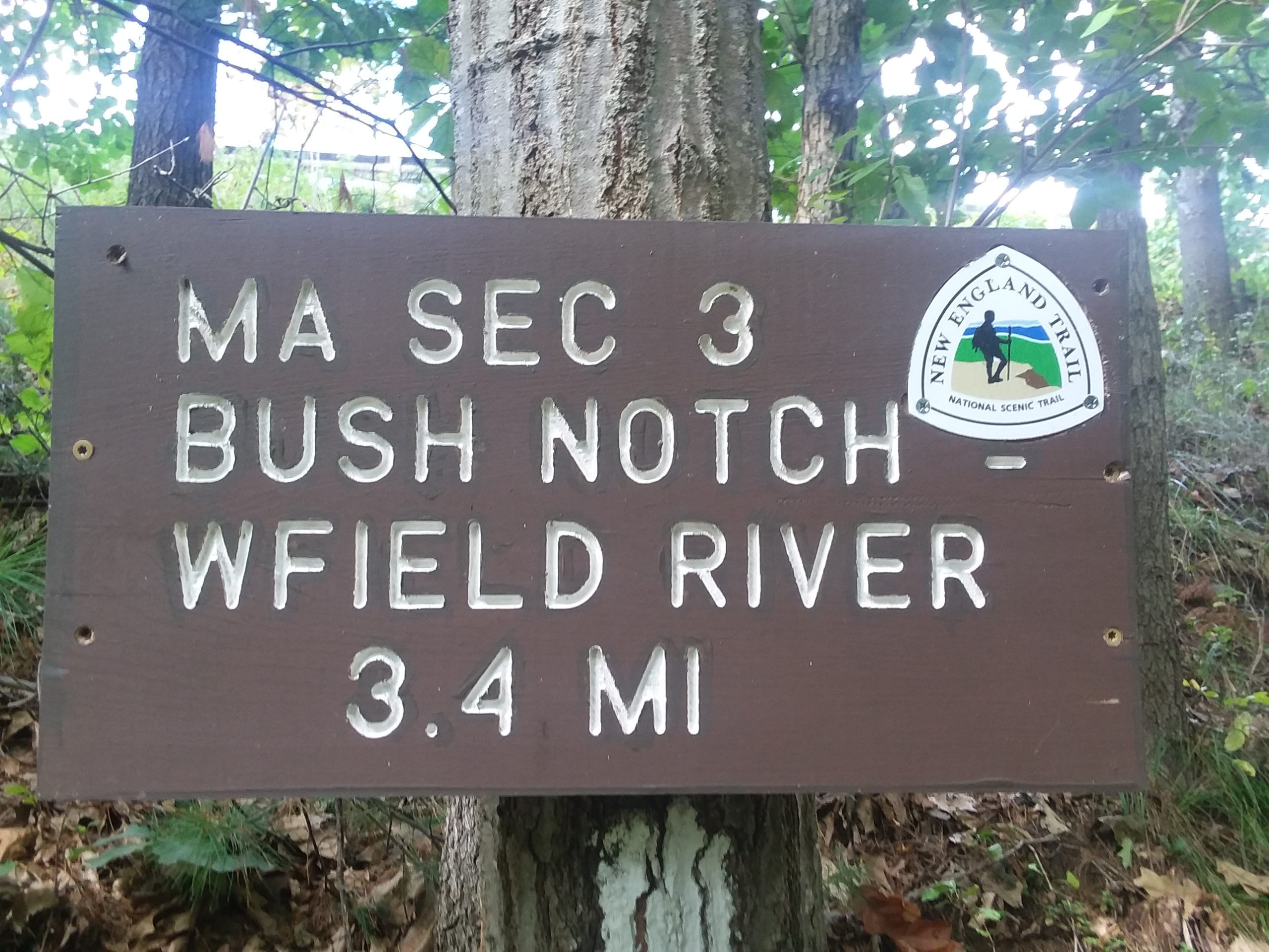
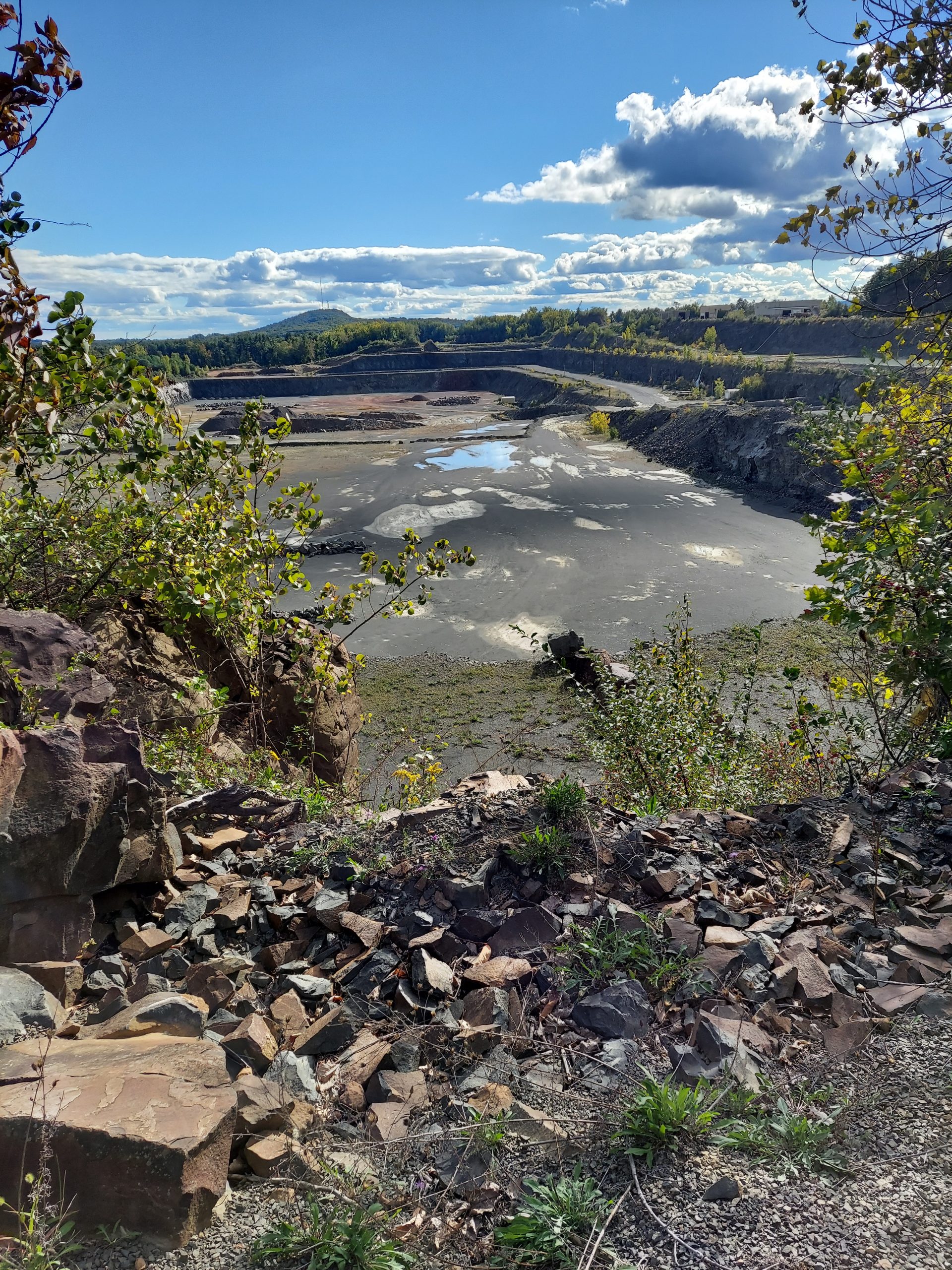
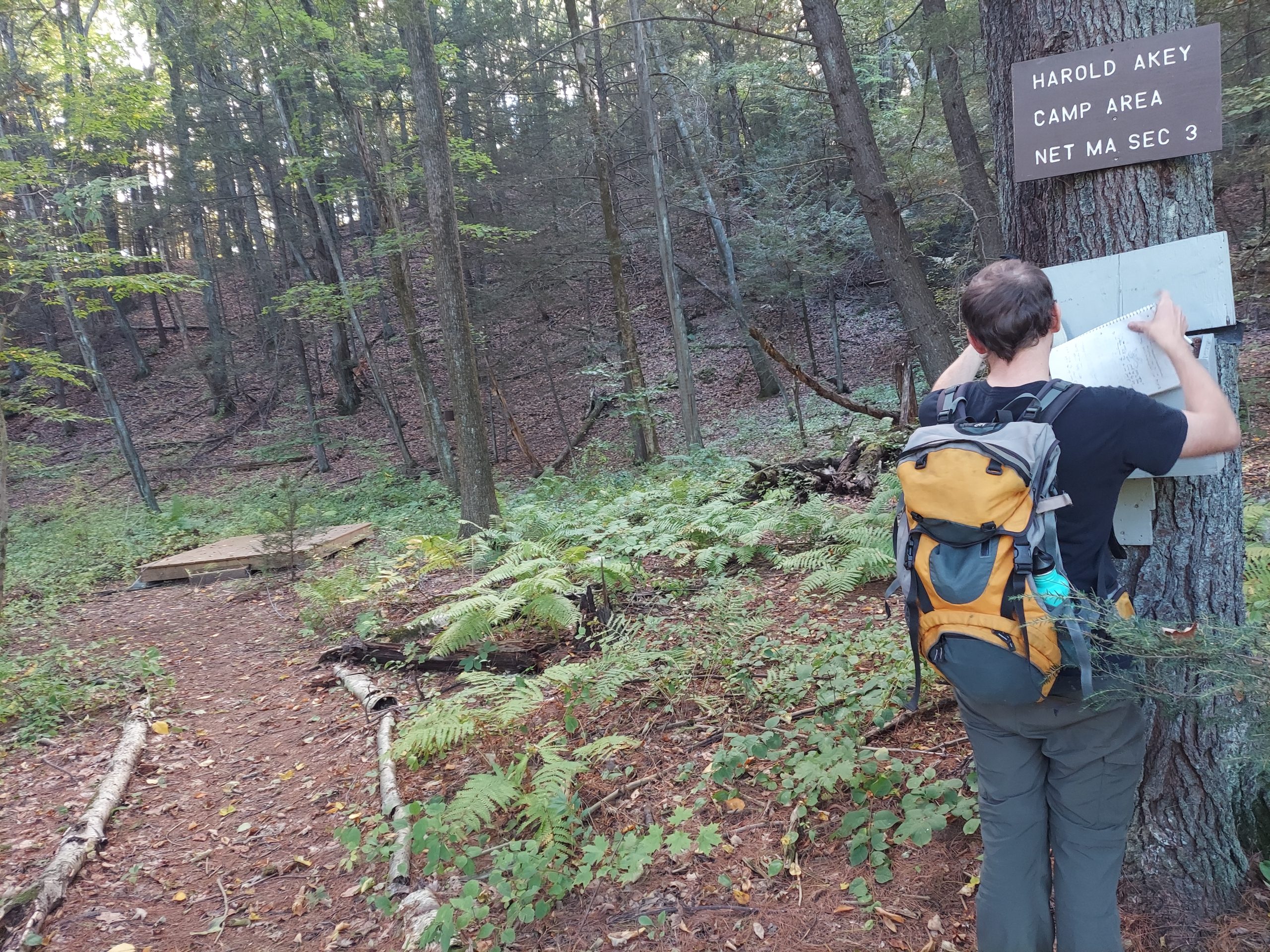
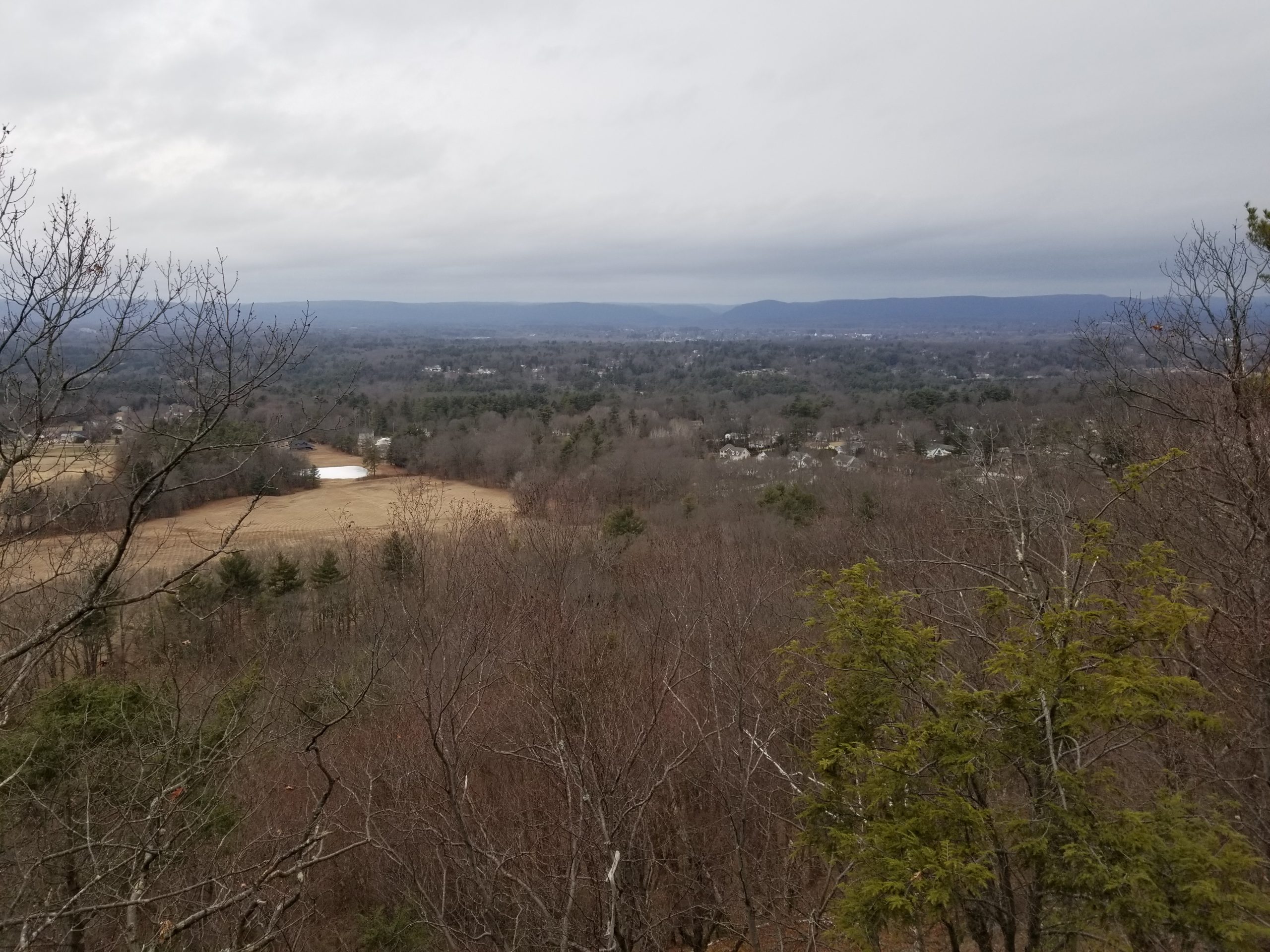
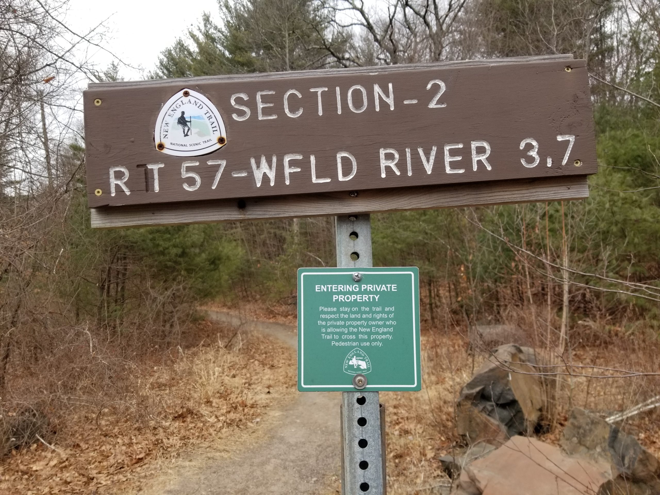
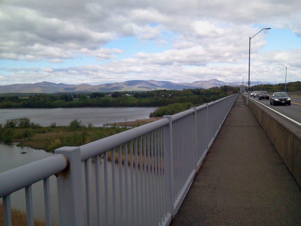
- MA Sections 3 & 4: Full post.
- MA Section 2: Full post.
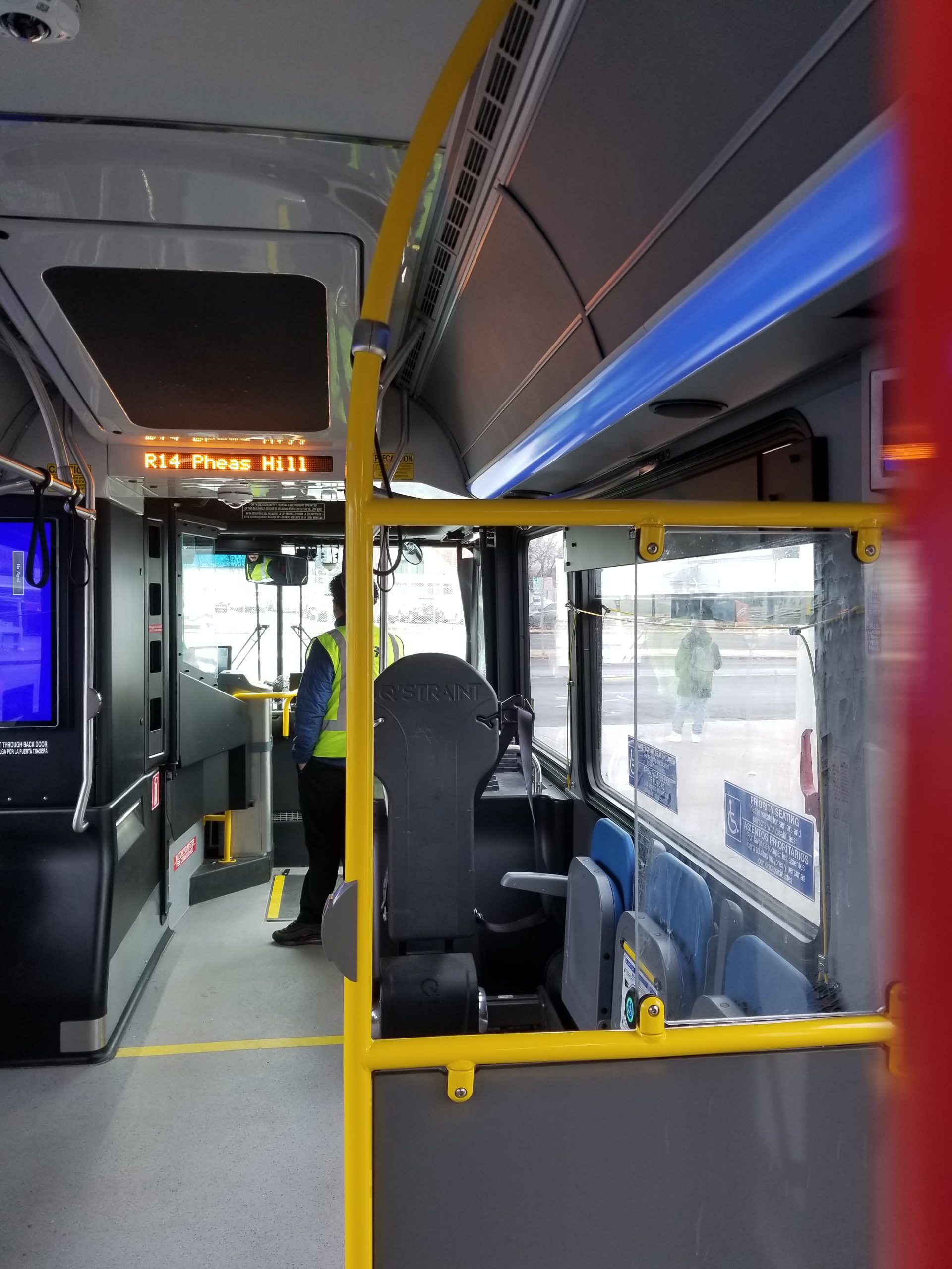
- MA Section 1: PVTA R14 to northern end.
Connecticut
- CT Sections 20-21 have no close public transit access.
- CT Section 19: CTtransit 34 (2 mile walk) to midpoint on Hatchett Hill Road.
- CT Section 18: CTtransit 912 to Winslow Place Park & Ride (2 mile walk) to southern end.
- CT Section 17: CTtransit 912 to Winslow Place Park & Ride (2 mile walk) to northern end, 926 to Albany Ave & Mountain Road (1.1 mile walk), 66 to Farmington Ave & Old Mountain Road (0.5 mile walk)
- more to come…