All posts by admin

Hudson Valley walk 2016

2015-04-23 15.46.01
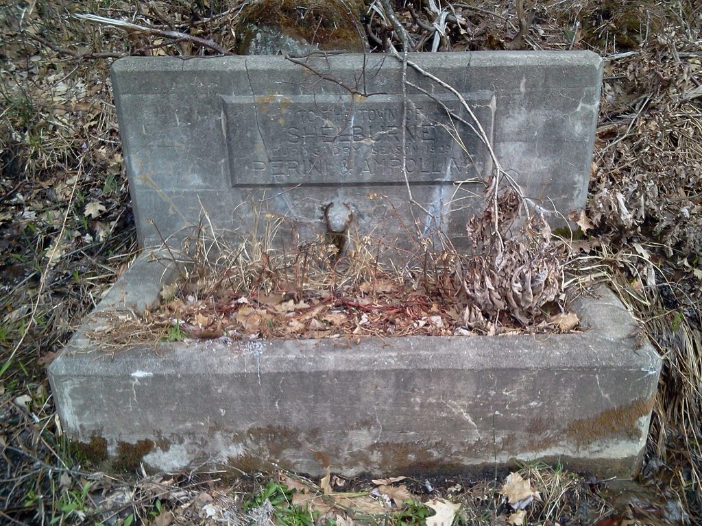
The text reads: “To the Town of Shelburne, during dry season 1929, Perini & Amrollini”.  Found along the road on last year’s walk.

On May 13th my yearly walking journey begins in Albany, New York at the Albany 2016 – Break Free From Fossil Fuels, an action to block fossil fuel trains and fight for climate justice.  From there I’ll head south toward New York City, on foot and by train, arriving in Brooklyn on May 21st.

On last year’s walk (Walking journey 2015), I walked to Vermont and back from Northampton, staying with friends and new-found friends, recording a radio show and listening and sharing stories.  I was surprised how many people were inspired by my journey, even though I had no goal other than to enjoy the world and the people I met.

This year I will be adding to that goal, and asking people their thoughts and feelings about climate change as I walk, trying to better understand what’s needed to move the movement forward, helping people come to terms with their feelings and help them find a place to take action that’s not coming from a place of guilt or coercion.  I’ll share what I find out with you in radio or video form.

I won’t be carrying camping gear so I’ll be staying with people.  I’ve found hosts for each night.  I’ll be passing through Hudson, Germantown, Saugerties, Woodstock, Bearsville, High Falls, New Paltz, Marlboro and Beacon.  Know anyone I should meet?  Or would you like to walk with me for a day? Please be in touch!

Valley Cooperative House Network

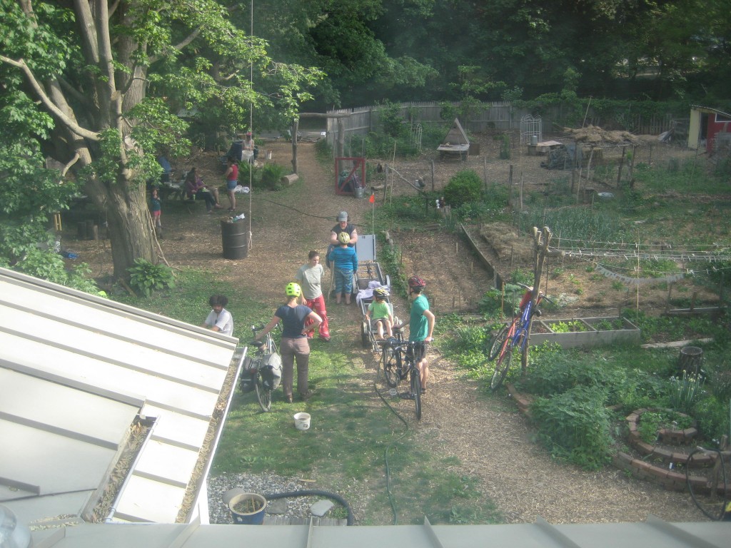
IMG_5668My friends and I are starting the Valley Cooperative House Network. It’s an on-going dream of connecting people and cooperative homes in the Connecticut River valley of western Massachusetts. We envision three phases of cooperation:

Community building: How many cooperative houses are there, and what do they share?  Let’s network and share events and openings in our houses.

Collective economies: Buying food together, storing food (canning, root cellar, freezers), car sharing, tool sharing…

Building equity: Creating cooperatively owned land and houses.

More information on the VCHN website.

Sharing, busyness and non-traditional family

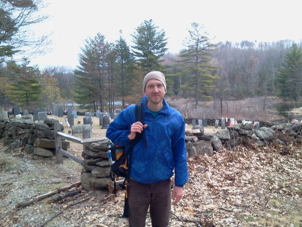
Walking through Conway, Mass.

UPDATE: The talk is available as a podcast on the Out There radio show.

I gave a free talk at the Forbes Library  on Saturday, February 6 at 1 pm in the community room.  I spoke about sharing and learning the skills of cooperation, reforming the culture of busyness and creating non-traditional family.

I’ve been living cooperatively in a cooperatively-owned house for the past 10 years, and gotten tremendous benefit from that, both economically and socially.  It’s also been a challenge to learn how to get along with each other.  Bringing up the difficulties before they build to a place of resentment, openly talking about feelings and hashing out the details are skills that I’ve learned and am still working on.

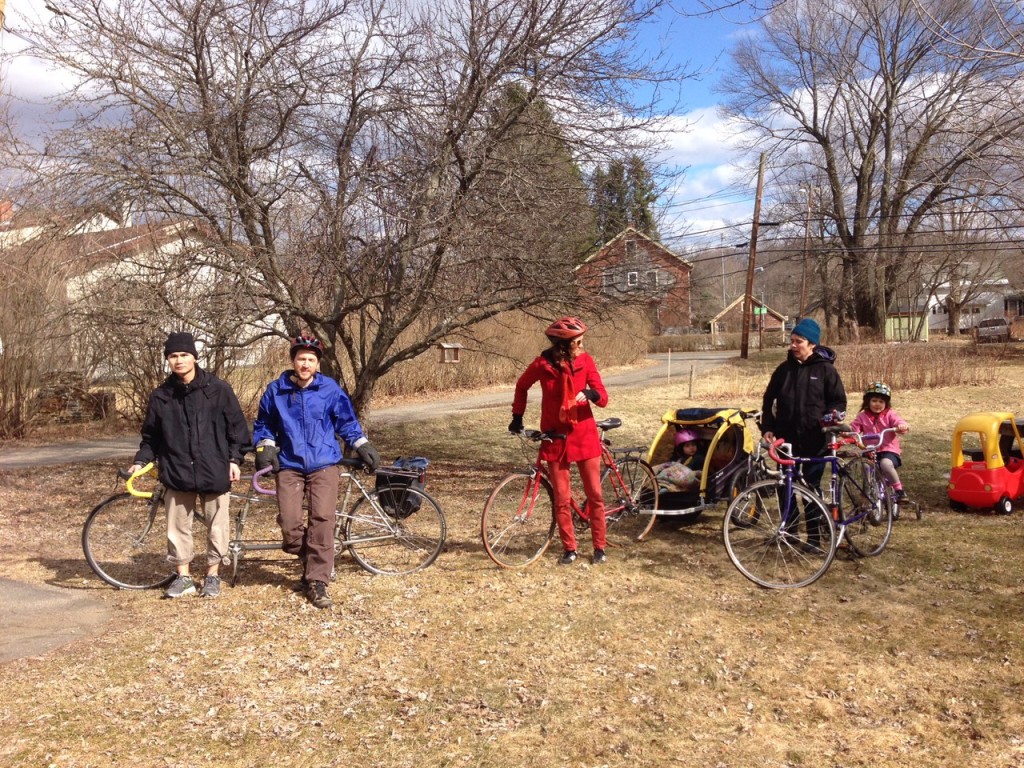
I’ve been spending time every week for the past three years with my adopted niece who is now 5 years old.  Together we’ve created videos, gone biking, hiking and on public transit adventures, and this past summer we’ve been building a house on a bike trailer to travel to Antarctica with.  It’s been about following her lead, and finding the places where I have interest too.  I feel very much adopted in her family and all of us support each other – having dinner together, saving thousands of dollars in child care costs, and filling my need for connection with children.

And I’ll talk about making space in my life, through sharing and cutting expenses, and through meeting my needs in multiple ways at once.  Some are: biking for transportation and exercise, cutting wood by hand with a two-person saw and talking the whole time, taking the time to walk places to help me think and to see so much more than I would see traveling faster.

I’ve taken a lot of inspiration from people of color and raised poor and working class people, locally and internationally, who are cooperating and conserving and living in ways that many white middle-class people have lost touch with.  I’ll be speaking about my experience, understanding that my situation is unique and that I have had a lot of privilege to have the space to figure out new solutions, and these solutions won’t work for everyone.  Oppression is very real and puts us in a bind unequally.   Making space in my life has given me the time to work on fighting to end systemic oppression without burning out.

Check out the recording of the talk, and also a shorter radio interview to promote the talk.

IMG_4343

Pioneer Valley Public Transit Hikes – #2: East Mountain & HCC Trails

I’ve started a new series of hikes using public transportation leaving from Northampton, Massachusetts. Our second hike was Saturday, November 14, 2015 – details below. You can also follow the series on the PVPTH Facebook page.

East Mountain & Holyoke Community College Trails

  • Difficulty: Hard – hcctrailshills with some steep climbs, navigating unmarked trails.  Also difficult to alert the bus driver to the right spot to be dropped off at.
  • Distance: About 4 miles.
  • Transit: PVTA R41 (schedule , map) from the Academy of Music, 274 Main St, Northampton, MA 01060.  $1.25 each way.

Meet Saturday 11/14 at 1 p.m. at the Academy of Music – we’ll take the R41 bus through Easthampton and get off on Rt. 141 in Holyoke across from the entrance to the Whiting Reservoir Trail Head.  We’ll hike south on the New England/M&M Trail, climb the northern end of East Mountain and connect to the Holyoke Community College (HCC) trail system, catching the bus back from HCC at 4:10 pm, arriving in Northampton by 4:50 pm.  Blaze orange is recommended as it is bow hunting season for deer.

Pioneer Valley Public Transit Hikes – #1: Mt. Nonotuck

I’ve started a new series of hikes using public transportation leaving from Northampton, Massachusetts. One of the great things about using transit to get to places to hike is that it’s easy to do one-way hikes – you can get off at one stop and take a hike to another stop, all without requiring shuttling two vehicles.  Our first hike was Saturday, October 31, 2015 – details below.  Also follow the series on the PVPTH Facebook page.

Mt. Nonotuck, Goat Peak and Lake Bray

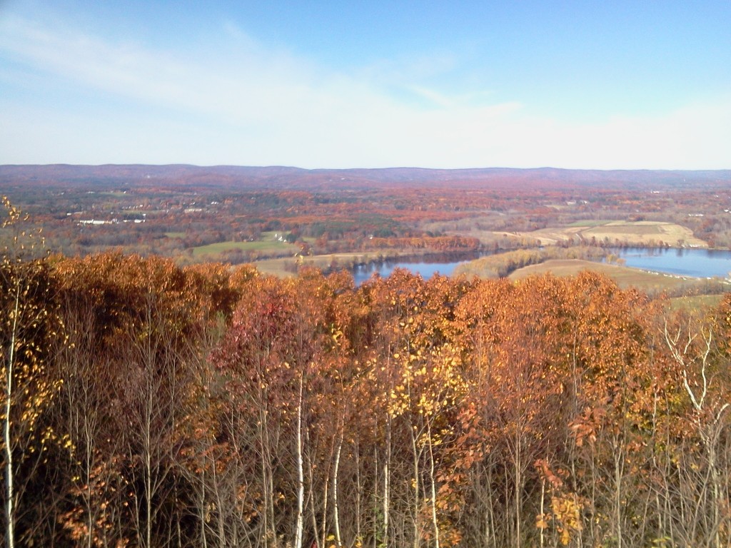
The view from Mount Nonotuck
  • Difficulty: Moderate – uphill on a carriage road, up and down along the ridge, then downhill on trails
  • Distance: 3.2 to 4.0 miles (1.1 on roads, 2.1 to 2.9 on trails)
  • Transit: PVTA B48 (schedule , map) from the Academy of Music, 274 Main St, Northampton, MA 01060.  Travel time is 10-15 minutes each way.  Runs 7 days a week, less frequently on Sundays.  $1.25 each way, or $3 for a day pass.
  • Hiking time: 1.5 to 2.5 hours, depending on speed and how much time you want to spend exploring the Eyrie House ruins

Continue reading Pioneer Valley Public Transit Hikes – #1: Mt. Nonotuck

Amtrak & PVTA tips

UPDATE: October 2015
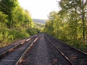
Double trackAmtrak service has been running for 10 months now here in Northampton.  It’s great to have a passenger train running through town again, but it’s an expensive ride.  Here are some tips on getting around inexpensively.

You can save 20% on the Vermonter (and many other Amtrak trains) if you buy 7 days in advance via this page on AmtrakRailserve.com compiles all the Amtrak promotion codes.  It’s a great resource and helpful to learn about how Amtrak prices tickets.

If you’re heading all the way north to Burlington-Essex Junction, VT, it’s cheaper to buy two tickets: one from Northampton to Brattleboro and then another from Brattleboro to Essex Junction – on the same train and the same day!  Amtrak is currently offering “Saver” fares of $18 from Brattleboro to Essex Junction with a 3-day advance purchase.  Together with the 20% discount from Northampton to Brattleboro ($12.61), you can do the whole trip for $30.61, instead of $41 if you just buy one ticket.

Heading south to Springfield and New York City, it’s far cheaper to take the PVTA from Northampton to Holyoke (B48), and then an express bus from Holyoke to Springfield (P21e), all for $1.50.  Weekdays, this bus combination runs once an hour from 7 am to 6 pm (7 pm on the way back). Then you can transfer to the many trains running from Springfield.

Even if you are committed to taking the train from Northampton, it’s often cheaper to buy two separate tickets, one from Northampton to Springfield ($12, or $9.60 with the 20% discount), and then one from Springfield south to New York ($34 in advance).  This only works if you buy in advance, because special “Saver” fares (14 day advance ticket) are posted for Springfield south, but not from Northampton – even for the same train.

If you’re going to New York City and you can’t buy two weeks in advance, consider taking Amtrak just to New Haven from Springfield ($23, or $18.40 a week in advance), and then riding Metro North into the city ($16.25 off peak).  Together with PVTA, the total cost is between $36.50 and $40.75 one way (versus $61 for taking Amtrak the whole way).

Finally, if you join the National Association of Railroad Passengers you get 10% off all Amtrak tickets.

(There’s also Megabus, Greyhound and Peter Pan bus lines if you’re willing to forgo train travel entirely).
Random vacations

The other day my friend Barry and I went on a walk.  At each intersection we flipped a coin.  Heads meant we continued straight.  Tails then we flipped again, and then heads was left, tails was right.

Later that evening a group of friends brainstormed taking random vacations:

Taken from http://www.aboutzipcode.com
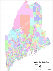
  1. Zip codes.  Roll up to 5 numbers on a ten-sided die (or 9 or 11 numbers depending on how precise you want to be!), and plan a vacation to that zip code.  It might be Smith College (01063), the Northampton Post Office Boxes (01061), Ketichan, AK (99950) or the IRS office in Holtsville, NY (00501)!
  2. Amtrak stations.  Pick a random one and travel by train.
  3. Megabus.  Set a dollar amount you are willing to pay, and figure out the farthest you can travel on Megabus for that amount.  Someone should write a program to help figure this out.  $25 can take you pretty far if you book in advance.
  4. Hitchhiking without a destination in mind.  Just go wherever the rides you get are going!
  5. Follow the wind.  Take a bicycle trip (or sailboat) and always go downwind as much as possible.  Or upwind if you want a challenge.
  6. Follow the money.  Offer your labor to everyone around you and do or go to whomever will pay you the most.  Or least.  You get to decide what your limits are – legal or illegal.
  7. Follow an animal’s tracks.  Once I followed a moose’s tracks in the snow for hours.  They can travel hundreds of miles, so it could be quite an adventure.
  8. On USGS topo maps, each square kilometer is outlined.  Pick one of these, and spend a day exploring it.
  9. Visit a random intersection of integer degree latitude and longitude lines, such as 42°N 73°W.  Who would want to do that? 12,832 so far with the Degree Confluence Project.

Why are these kinds of things interesting to me?  I think it creates an opportunity to break away from my ordinary routine and thinking.  Who knows what will happen en route or who I will meet?

In October I have two weeks off.  Maybe I’ll pick one of these – which one do you think I should do?

Walking journey 2015

UPDATE: Listen to the radio show of the first five days of my walk!

I’m going on a walking journey from April 17 to 25, 2015, around Western Massachusetts and possibly into neighboring states.  I’ve created a website to help me plan the route and find hosts at journey.sharett.org.

Last April I spent four days walking from my house to western Florence, Huntington, Easthampton, Mass. and back home – about 35 miles 2014-04-17 13.53.36total.  Each night I spent with a different friend, and each day I walked, sometimes with friends, sometimes meeting new people along the way, sometimes being barked at, mapping new trails and roads that I found and adding them to Open Street Map. Most of the time I was off of major roads, walking old woods roads and sometimes bushwhacking through fields, forests and the occasional swamp!

This year I’m not quite sure what the journey will bring, but I’m looking forward to meeting new people and seeing the beauty of the early spring.

My route is mostly set, but I’m still looking for a host in Williamsburg, MA.  If you’d like to host me for a night, visit journey.sharett.org and fill out the form at the bottom of the page, or contact me.

If you’d like to walk with me for part of the journey, or want me to deliver letters to people along the route, be in touch!

Here are some pictures from last year’s journey:

2014-04-16 12.10.58

2014-04-16 14.27.38

Mill River tubing forecast

The Mill River in Northampton, Mass. is normally a quiet river.  When the river levels rise, it becomes as exciting tubing adventure!  This doesn’t happen very often, and I don’t want anyone to miss it when conditions are right.  So I wrote a website that predicts when the tubing will be good, and you can sign up to get a text message when this happens:

Mill River tubing forecast

On August 28, 2011 at noon, after a hurricane, the river reached 4,000 cubic feet per second of water!

Mapping my city with Open Street Map

Over the last few months I’ve been mapping the hiking trails and off street paths of my city, Northampton, Massachusetts, using Open Street Map, a free world map that anyone can edit.  My Sundays have often been going out hiking with friends in the Sawmill Hills of Florence, recording my tracks with a GPS.  There are miles of paths and every time I go out I discover another new to me path heading off that I mark to map later.  I especially enjoy walking through the hills to visit friends on the other side – walking through the woods to a fun destination is the best!

My dream is be able to walk pretty much anywhere on trails and back roads.  A couple of weeks ago I walked to my friend’s place in Huntington, Mass. on trails and back roads like this one, which is Spruce Hill Rd in Westhampton.  Just the kind of “road” I like:

Spruce Hill Rd in WesthamptonAll that needs to happen for my dream to be realized is for the many trails and paths that already exist to be mapped – if you have a smart phone with a GPS in it (most do), you can explore the trails near you, and add them to Open Street Map.  (For Android, you can use My Tracks).

P.S. 7/12/14: Since writing this post, I discovered the Strava heat map of the Sawmill Hills. Strava compiles all of their customers’ running and biking journeys into one map, allowing you to see where many trails are.  You can use it to edit Open Street Map as well.