I’ve started a new series of hikes using public transportation leaving from Northampton, Massachusetts. One of the great things about using transit to get to places to hike is that it’s easy to do one-way hikes – you can get off at one stop and take a hike to another stop, all without requiring shuttling two vehicles. Our first hike was Saturday, October 31, 2015 – details below. Also follow the series on the PVPTH Facebook page.
Mt. Nonotuck, Goat Peak and Lake Bray

- Difficulty: Moderate – uphill on a carriage road, up and down along the ridge, then downhill on trails
- Distance: 3.2 to 4.0 miles (1.1 on roads, 2.1 to 2.9 on trails)
- Transit: PVTA B48 (schedule , map) from the Academy of Music, 274 Main St, Northampton, MA 01060. Travel time is 10-15 minutes each way. Runs 7 days a week, less frequently on Sundays. $1.25 each way, or $3 for a day pass.
- Hiking time: 1.5 to 2.5 hours, depending on speed and how much time you want to spend exploring the Eyrie House ruins
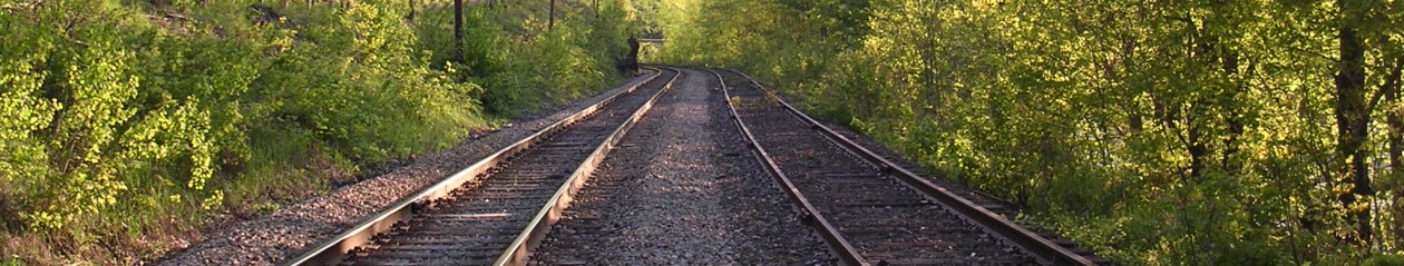
Board the PVTA B48 bus towards Holyoke at the Academy of Music bus stop in front of Pulaski Park in Northampton. Ask to be let off by the intersection with East St., or where the Manhan Rail Trail begins. If the driver doesn’t know these landmarks (ours didn’t), signal for a stop after you cross a bridge over the Oxbow and pass the state boat ramp.
Walk south (left as you exit the bus) along Route 5, and turn right onto East St. Go under Interstate 91, and turn left on Underwood Ave (at 0.3 miles). Turn right under the power lines and follow the white blazes for the New England Trail, which quickly goes left into the woods. In a few minutes you’ll reach the old carriage road, which you’ll follow until you reach a paved road in poor condition (good condition if you don’t like paved roads!) (at 1.2 miles). Turn left and walk up on this road to the closed parking lot for the Eyrie House Ruins. It’s worth 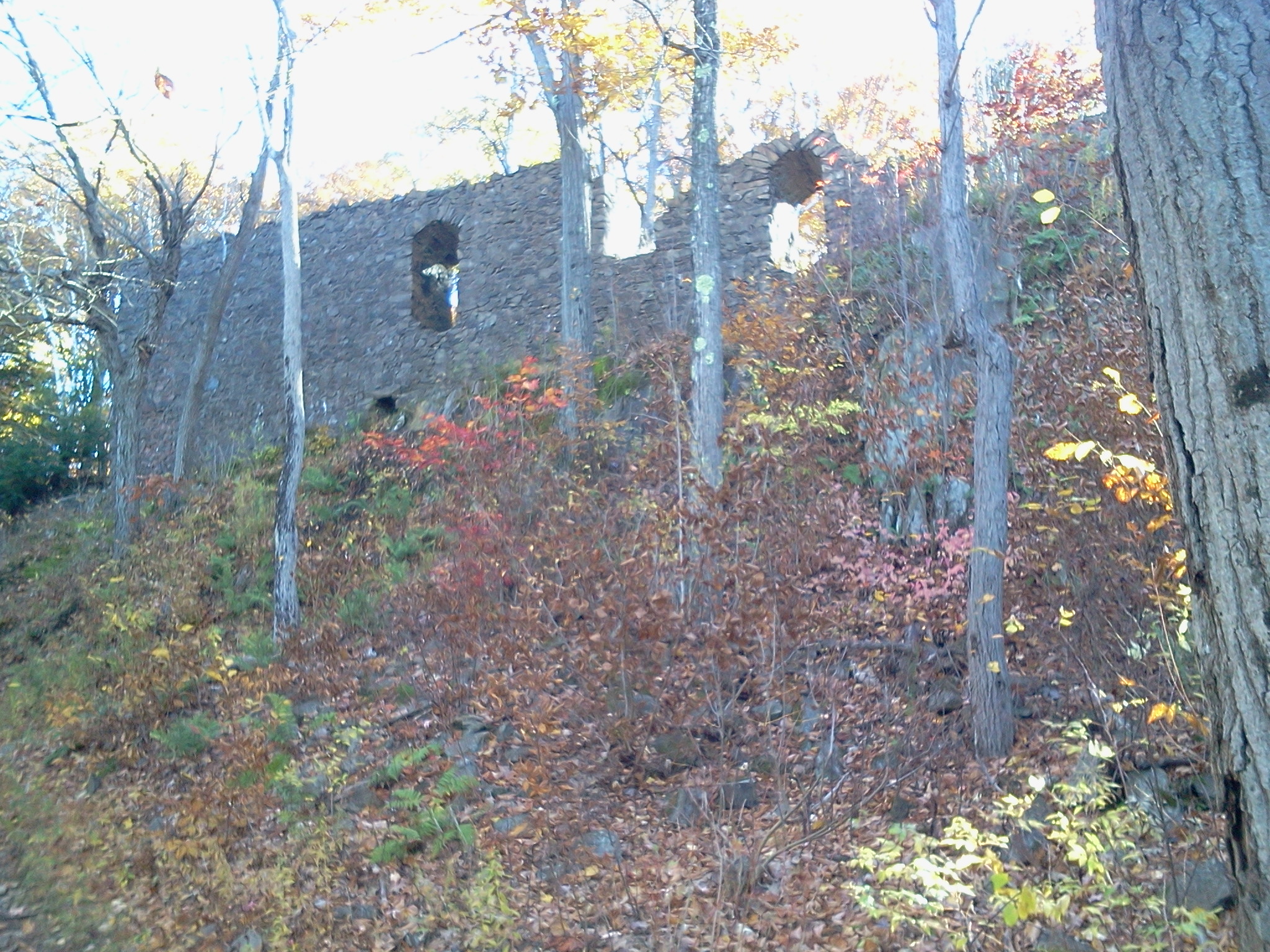 taking some time to explore the ruins and the views.
Return to the parking lot and descend the paved route a short distance, and turn left back onto the white blazed New England Trail. Follow this trail until it descends and meets the T. Bagg Trail (at 1.9 miles).
You can continue on the New England Trail to Goat Peak, a tower with great views, and then return to this junction (0.8 miles round trip), or you can turn left here and descend to Reservation Road (at 2.5 miles without the Goat Peak side trip). Turn left and you’ll come shortly to the parking lot, visitors’ center and Lake Bray, a good spot for a break (at 2.7 miles).
Continue on Reservation Road and cross Route 5 (at 3.2 miles). A good spot to catch the return bus is in front of Competitive Edge Ski and Sports (which has recently moved, so this building may be repurposed soon). This is a flag stop, so make sure to wave to the driver. The bus arrives here 10 to 20 minutes after leaving the Holyoke Transportation Center.
Other transit options: You can also take the B48 from Holyoke. Many buses connect to the B48 at the Academy of Music in Northampton and the Holyoke Transportation Center in Holyoke. See the PVTA website (www.pvta.com).